
Process
Scanning Workflow
From your physical environment to digital in just a few steps
Step 1
Scan
Realsee Galois 3D Scanner to capture multiple 360° panoramic points of your environment
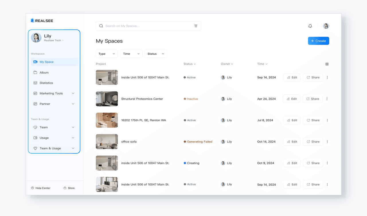
Step 2
Upload
Sync and manage you captured scans in the Realsee console
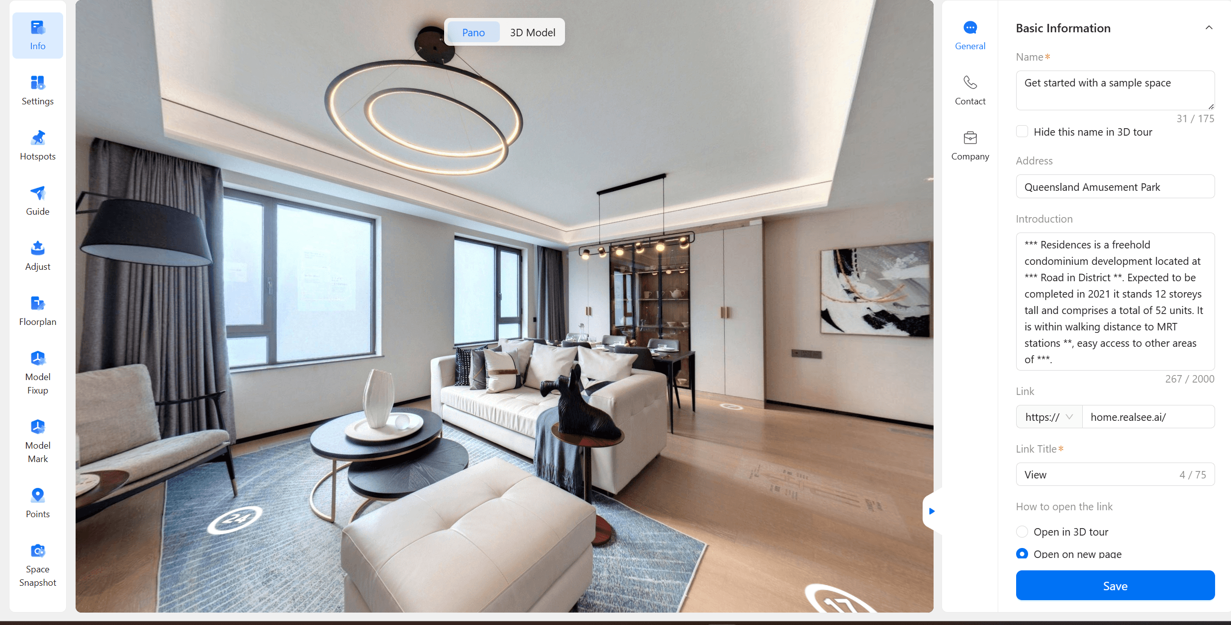
Step 3
Edit
Construct and modify your ideal space with AI-integrated editing tools
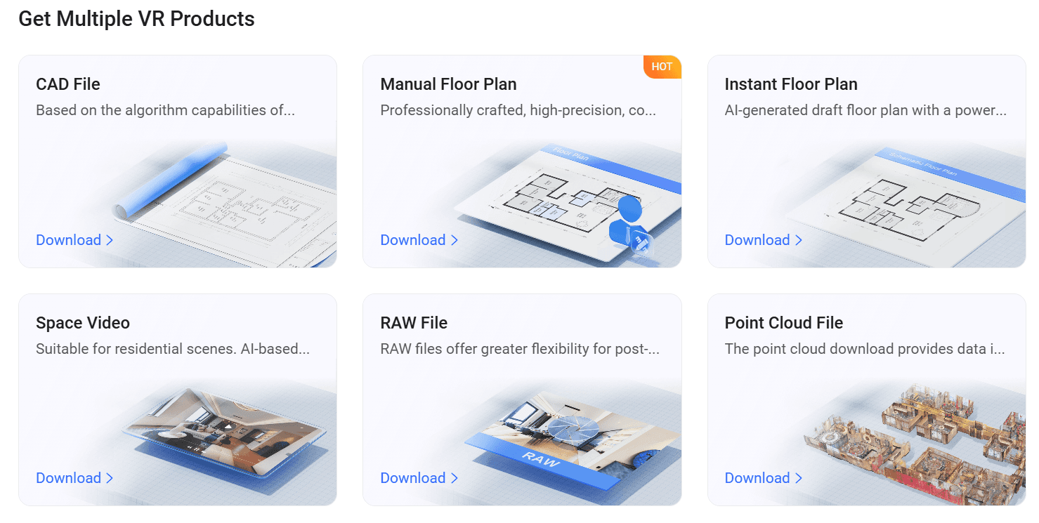
Step 4
Export
Services
Digitize your real-world space
We provide a solution to convert any physical space into accurate, editable digital models and floor plans within minutes.
Capture Your Space
Scan real-world environments quickly using LiDAR technology to create accurate spatial data.
Accurate Scanning
LiDAR Technology
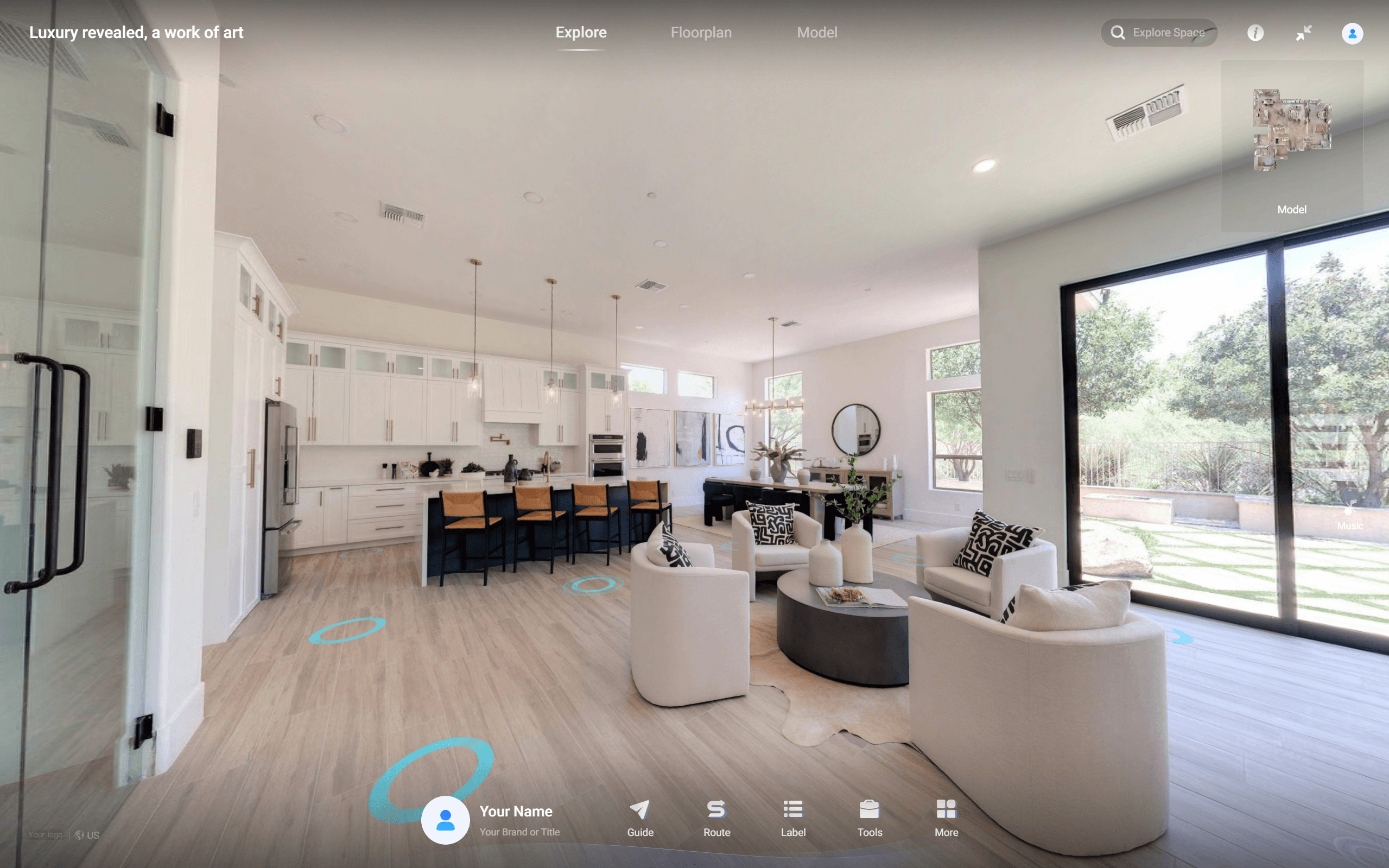
Virtual Walkthroughs
We enable users to create immersive virtual tours, allowing viewers to explore and walk through a 3D space after it has been scanned.
Navigate Your Environment
Virtual Tours
Edit & Customize
Modify floor plans, measurements, and spatial data to fit your workflow.
Modify
Enhance
Share & Export
Easily share interactive tours or export spatial data in multiple formats for use in design, real estate, or construction workflows.
Quick Sharing
CAD
Benefits
Why Use the Realsee Galois 3D LiDAR Scanner
Understand how the Realsee Galois 3D Scanner helps professionals capture spaces faster, generate accurate floorplans and create immersive virtual spaces, and
Property Documentation
Capture accurate digital records of buildings that can be used for renovation planning, asset documentation and building measurement.
Virtual Walkthroughs
Create interactive virtual walkthroughs that allow properties to be explored remotely.
Representation of 3D space
Precision LiDAR technology captures the interior of buildings and creates highly accurate digital models that can be used for measurement, documentation and planning.
Specifications